Commercial drones are becoming increasingly popular in construction and agriculture, allowing producers to improve efficiency and simplify daily tasks. This all comes at a time when a continued labor shortage makes it difficult to perform as many jobs manually.
In a study conducted by PricewaterhouseCoopers, the firm’s Drone Powered Solutions team estimated that four applications for drone-powered solutions can generate more than $100 billion in revenue. Infrastructure was at the top of the list at $45.2 billion, followed by agriculture at $32.4 billion.
While some contractors and farmers may not be ready to adopt this new technology beyond capturing aerial images and video, drones present a significant technological advancement in these industries.
The types of drones used in construction and agriculture can increase efficiency, save costs, improve safety and enhance project outcomes. We will delve into each of these topics in the following sections.
How Are Drones Used in Construction and Farming?
Drone operation is becoming increasingly common on construction job sites and in farm fields.
These unmanned aerial vehicles are remotely piloted for surveillance, photography, mapping and data collection. Professionals in construction and agriculture are adopting the technology because of the valuable efficiency drones bring to their work.
A significant reason why drones are taking off in construction and agriculture is their ability to capture high-quality images and videos. Drones can create a visual record of progress on job sites and farm fields. This drone data and documentation proves valuable for reporting, communication with stakeholders, compliance, identifying potential problems and monitoring field progress for row crops.
One of the most common applications for drones used in construction operations is for site surveys, mapping and creating 3D models. This may include the following:
Aerial surveys: providing a cost-effective means to capture high-resolution images, videos, and accurate data.
3D land mapping: leveraging advanced imaging technology to capture details and terrain data.
Topographic mapping: collecting detailed elevation data and analysis of land surfaces.
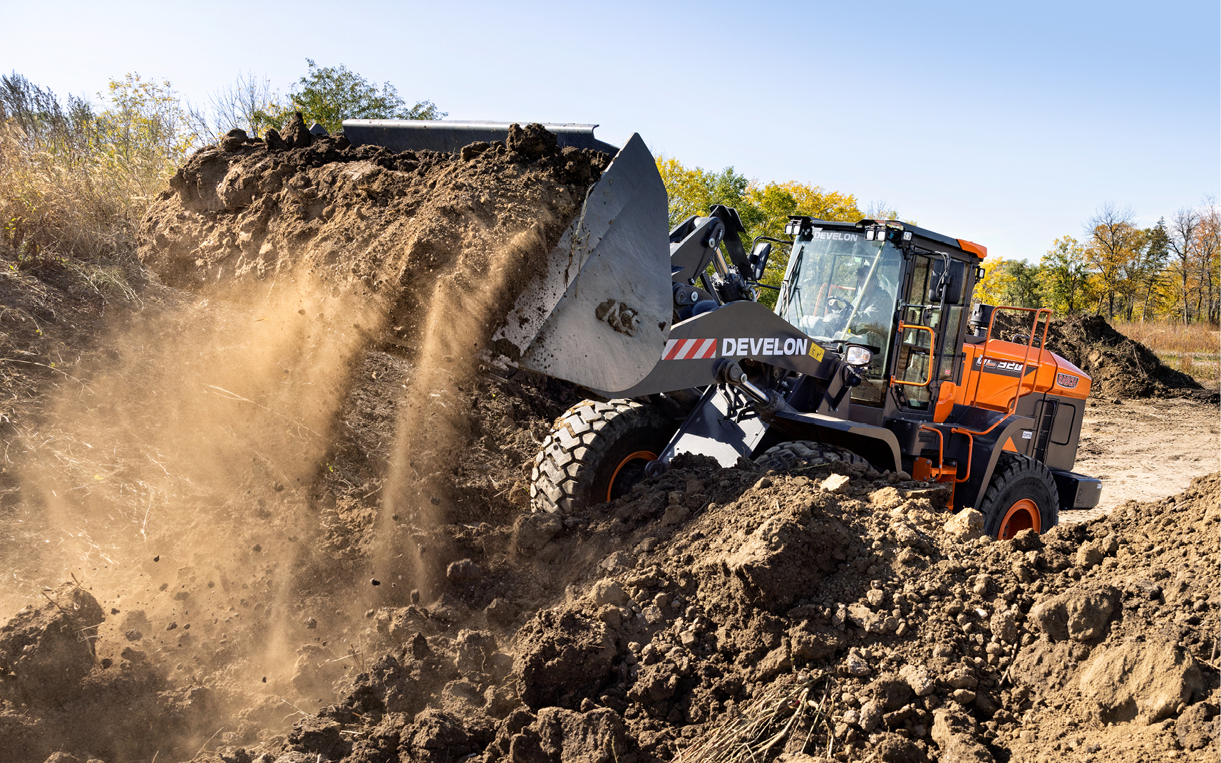
Volume calculations: measuring and assessing the volume of stockpiles, at excavation sites, pits and quarries.
Project managers at construction companies also use drones for project planning and design. Drones collect data from large areas that aids in creating project plans and designs, helping to minimize errors and optimize resource allocation.
Once the job is underway, drones can monitor the construction site and provide a chronological record of the development. Traditional construction inspections often require one or more employees overseeing work in person. Much of this work can now be done efficiently with a drone, recording video and photos for later reference.
Another significant benefit of using drones, especially in construction, is for inspections. Drones equipped with cameras can be deployed for remote inspection of hard-to-reach or hazardous areas; inspections that may have previously been conducted in person. This not only enhances safety but also improves job site efficiency.
Drones can be used for environmental monitoring to assist in the observation and assessment of the environmental impact of construction activities. This information is crucial for compliance with environmental regulations and demonstrates an organization’s commitment to sustainability.
Benefits of Using Drones in Agriculture
In 2023, we visited Harmon Ag, LLC, a DEVELON excavator customer located in Alleman, Iowa. Michael Harmon and his brother farm about 6,000 acres in central Iowa. Michael has adopted the use of drones in his agriculture practices. He flies a smaller drone for scouting the fields and observing ponds, drowned-out areas or dead spots. He uses a second drone to assess plant health. The latter is a RedEdge camera drone for NDVI and near-infrared imagery.
Michael is primarily self-taught by reading and watching videos online. His biggest learning curve was figuring how to process more than 8,500 images shot by the drone camera and making maps of the field where the drone flew overhead.
What Are the Benefits of Using Drones?
The use of drones in construction and agriculture provides a variety of benefits, from transforming traditional tasks that were once done by labor to creating a digital record of the project or farm field. Three of the biggest benefits of using drones are cost savings, safety improvements and data accuracy.
Reducing the need for manual labor and traditional surveying methods can result in significant cost savings. Efficient data collection and analysis contributes to streamlined project timelines, reducing overall project costs.
Kevin Surprise is the owner of Bison Construction in north-central Tennessee. His company is working on a new residential development near Nashville, where a DX350LC-7 excavator has been loading dirt into three DA30-5 articulated dump trucks.
Kevin hired a local company to fly a commercial drone over the job site to help measure his company’s progress. It took about three hours for a third party to capture footage of the job site and cost approximately $600, he says. The drone footage provides a more accurate depiction of the progress being made and can be easily shared with the developer.
Drones can enhance safety when used to conduct job site inspections, identify potential hazards and monitor workers in real time. The construction industry remains an industry plagued by accidents, and the use of drones is one way to enhance job site safety.
Data accuracy can be improved with the use of drones in construction and agriculture. The high-resolution data collected by drones equipped with sensors and cameras offers more precise measurements and higher-quality surveying and mapping outcomes. Farming operations can use agricultural drones to collect detailed data on crop health. Visual data from aerial imaging can help growers detect issues early, enabling timely intervention and improvements in future crops.
How Much Money Can Drones Save Companies?
The potential cost savings of implementing drones can vary depending on the size of the project or farming operation. For instance, traditional land surveying methods can be time-consuming and labor-intensive. Drones can significantly reduce surveying time, leading to cost savings in labor and equipment. The laborers who previously did this work can now be reassigned to perform more specialized and value-added tasks for the company.
Advancements in technology, such as the use of total stations, GPS (Global Positioning System) and aerial surveying techniques, have significantly enhanced the speed and precision of land surveying processes in recent years. A total station is an advanced surveying tool used in construction for precise measurement and mapping. A total station can be used with other technologies to guide and control heavy construction equipment, such as dozers.
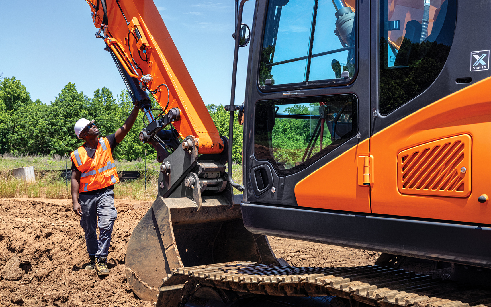
Drones can perform regular inspections of equipment as well as structures to identify issues or concerns early on. This proactive approach can prevent costly repairs and extend the lifespan of excavators, wheel loaders and articulated dump trucks. Inspections that were traditionally done on-site can now be done remotely with a drone. The drone captures the condition of structural components, operator cab, tracks, tires, hydraulic lines and hoses, and attachments for excavators and wheel loaders.
Regular drone inspections can contribute to the overall efficiency of construction sites by ensuring that earthmoving equipment is functioning properly. Drone technology can complement data provided by MY DEVELON fleet management telematics for machine uptime protection.
Adopting new technology can be intimidating; however, drones have already proven to be a valuable addition in construction and agriculture. Read more about our Concept-X2 Site Management future solution incorporating a drone.

By Thomas Lee, Director of Product Management
Thomas Lee is director of product management at DEVELON, overseeing product and innovation. He has more than 13 years of experience working in the heavy equipment industry.


